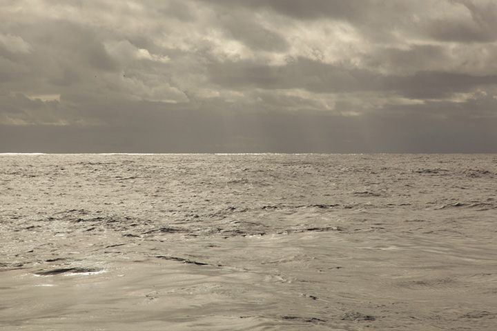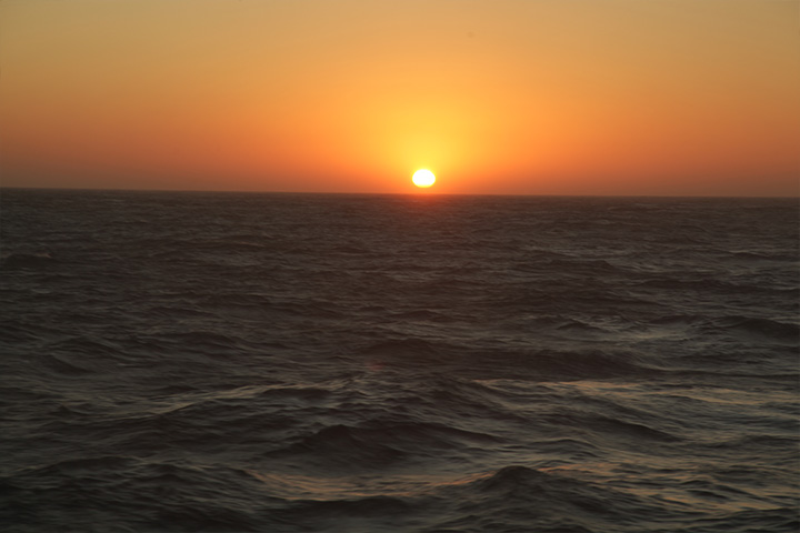
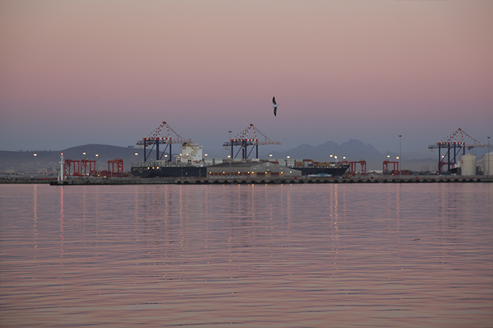
While we were stopped on a CTD station measuring the temperature and salinity of the Agulhas, I watched two 900-foot-long bulk carriers bound for Singapore pass several miles to starboard, and fell to thinking about the exploration, exploitation, and the old and new views of the sea. Aquafaith and New Zosou Hangzau (according to the automatic ship identification system) were driving to windward in 35 knots, their bow waves exploding white and blasting aft half their length. Paul, our chief mate, speculated that they were carrying ore from Chilean mines, ultimately, to China to be turned into you-name-it. The sea has always served commercial ambition. And the Indian Ocean was Europeans' first sea route to the riches of the East.
When in the mid-15th century, the Muslim pashas and potentates closed down the Spice Road and Europe's source of silks and teas and particularly spices evaporated, the old dream of a sea-route to the East turned into a feverish quest. Since the days of Henry the Navigator in the early 15th century, the Portuguese were poking their bows down the west coast of Africa hoping to find a passage to India.
The problem, however, was that no one knew whether Africa had a bottom or whether it was connected to this (mythical) Great Southern Continent, making the Indian Ocean a very large lake. In 1488, Bartholomew Dias found that Africa did indeed have a bottom, naming it Cape of Storms after his experience in those water. But he did not press on into the Indian Ocean because his crew threatened to chuck him over the side if he so ordered. Instead he returned to Lisbon with the good news. But King John, thinking that tag a bit too negative, renamed it Cape of Good Hope. Then he dispatched one Vasco De Gama to actually reach India.
Gama, a remorseless killer as well as a nautical genius, dropped his hook in Calicut, India on 20 May 1498 after a voyage of 12,000 miles, four times longer than Columbus's and by far the longest voyage in human history to date. India had everything Europe wanted - nutmeg, cloves, cinnamon, and pepper - and Gama noticed that a bag of pepper from the Calicut market would fetch about 3,000% profit in Lisbon's market. Also, he was surprised to learn that the pasha of Calicut was a Muslim. Gama hated Muslims as hotly as they hated Europeans. So when the pasha laughed at this hick from Europe and refused to bargain on his terms, Gama flattened the town with the only things the West had that the East did not, superior cannons. And so by force the Portuguese took over the Indian Ocean and the Spice Islands to the east. Before long, the English drove out the Portuguese, and the Dutch subsequently drove out the English. Then, centuries passing, the Japanese drove out the Dutch. Who controls the sea-lanes controls the trade.
In order to control both, mariners needed to understand the ocean. Where were the prevailing wind patterns? The Portuguese, under Henry, had "discovered" the Northeast Trade Winds. Where were the currents that could impede or accelerate a passage? Da Gama noted the existence of the Agulhas Current for the first time in human history (1498) and Ponce De Leon did the same for the Gulf Stream (1520). But mariners then (and now) didn't need to know what caused the currents or care about what was happening 3,000 meters beneath their keels, since only the drowned went that deep. Their view of the sea was, quite reasonably, practical, utilitarian, and mercantile. However, beginning in the middle of the 18th century with the birth of the Enlightenment, there arose a fresh and original idea: a scientific view of the sea and our relationship to it that had little to do with commerce or conquest. The new objective was to study nature for its own sake and in all its facets and interrelationships.
The contemporary explorers, naturalists, astronomers, and cartographers did brilliant work, but when it came to the study of the ocean, fledgling oceanographers were stymied by the subject itself. Rough, deep, opaque, and vast in three dimensions, oceans defy study. Low- or no-tech devices could not suffice to glean the surface activity, let alone the depths, or to answer any of the why questions. It wasn't until World War II and the ensuing Cold War that tools of strife such as sonar, radar, and solid-state electronics reached the hands of peaceable ocean scientists. These were essential because, unlike other scientists, biologists and botanists, for instance, the oceanographer cannot see her subject.
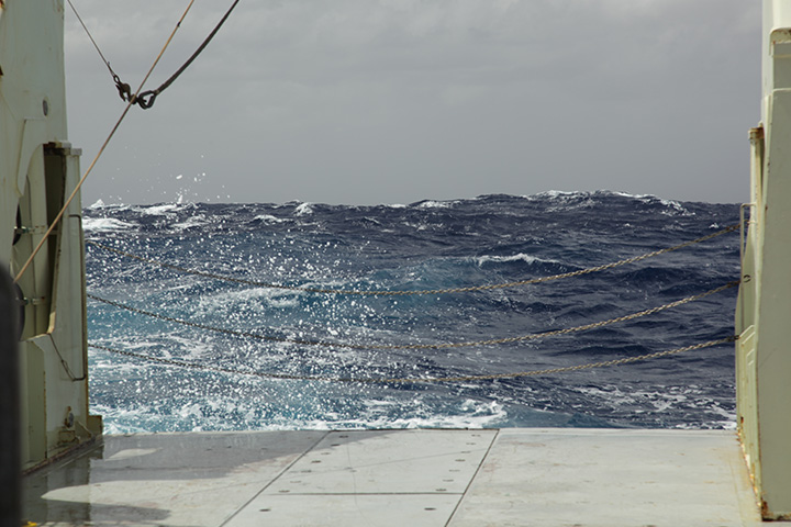
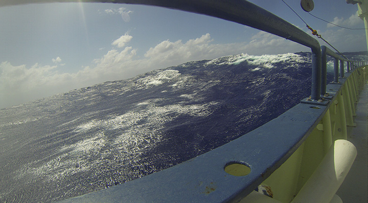
Sophisticated electronic devices must serve as surrogate eyes; that's why oceanography is a young science. And that brings us back aboard R/V Knorr parked here in the current while some 100 million cubic meters of water blow past her hull every second of every day and the bulk carriers and container ships plow past bound for profit in the East. We have the benefit of a bevy of esoteric instruments with acronymic names (CTD, ADCP, IES, GPS, etc.) as well as the accumulated mass of ocean knowledge, both observational and theoretical, that preceded us, not to mention this fine purpose-built research vessel and the capabilities her people bring to the service of ocean science.
That said, there is in the offing an interesting and ironic intersection of the new and the very old uses and views of the sea. Lisa has proposed to the Office of Naval Research, the very agency that funded the birth of high-tech oceanography in the interests of warfare, a study of the Arabian Sea, among the least-sampled bodies of water in the hemisphere. Trouble is, she has to figure out how to study it remotely. Ships are not allowed in the Arabian Sea region because of piracy.